Empower civil engineers with KeyTERRA-FIRMA Mainstream, the essential CAD plug-in for ground modelling, site grading, and alignment design. Create accurate 3D terrain surfaces, generate cut and fill volumes, and produce alignment outputs for highways, drainage and infrastructure proposals—all directly in BricsCAD® or AutoCAD®.


Designed for Civil Engineers, KeyTERRA-FIRMA Mainstream enables detailed design outputs from survey data. Whether you’re working on highways, pipelines or large-scale site developments, Mainstream turns terrain data into intelligent CAD drawings ready for engineering use.
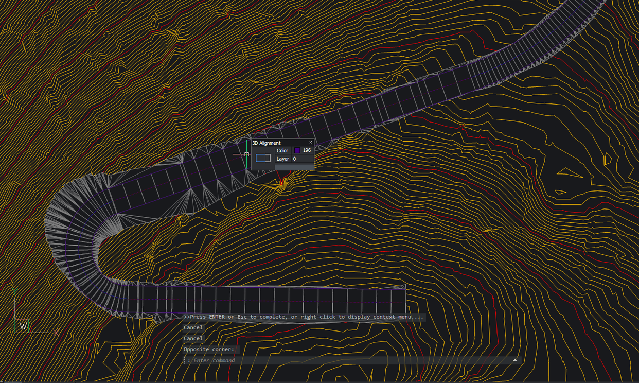
With powerful horizontal and vertical alignment tools and robust volume modelling capabilities, it’s ideal for road design (as shown in our Shetland Islands Case Study), infrastructure planning, and surface analysis—whether your project is simple or complex.
Build triangulated surfaces and contour models for accurate representation of terrain features—ideal for infrastructure and site design.
Define and control surface levels across a site. Produce grading plans for platforms, drainage zones, slopes, and access routes.
Run advanced volume calculations, geospatial analysis, and mapping outputs to optimise design efficiency and reduce engineering risk.
Advanced tools for 3D ground modeling, volume calculations, and site design – all inside your DWG CAD environment.
Create triangulated terrain surfaces using breaklines, boundaries, and elevation data—ready for design and visualisation.
Measure cut and fill volumes between surfaces using TIN-to-TIN analysis or End Area/Simpson method.
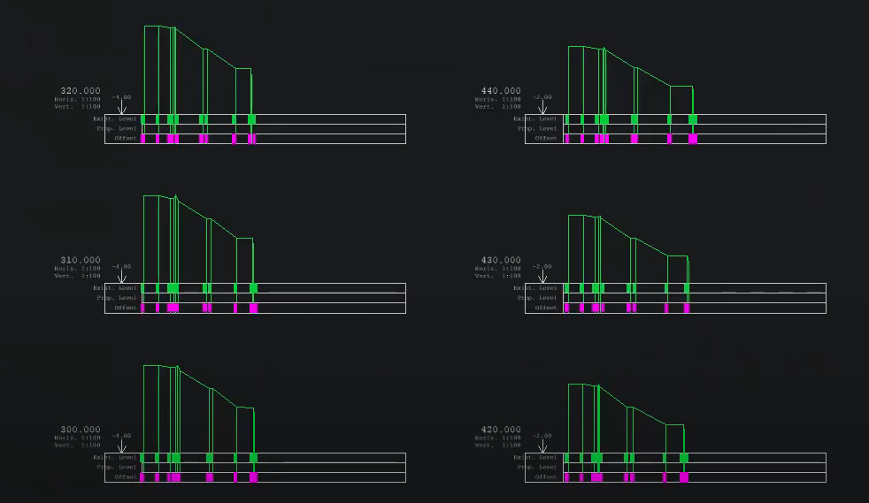
Generate long sections and output chainage labels for highways, pipelines, or general projects with ease.
Visualise slope direction, steepness, and contour bands using colour-coded gradients to quickly assess topography.
Design roads, car parks, or plots using horizontal and vertical alignment tools directly in CAD.
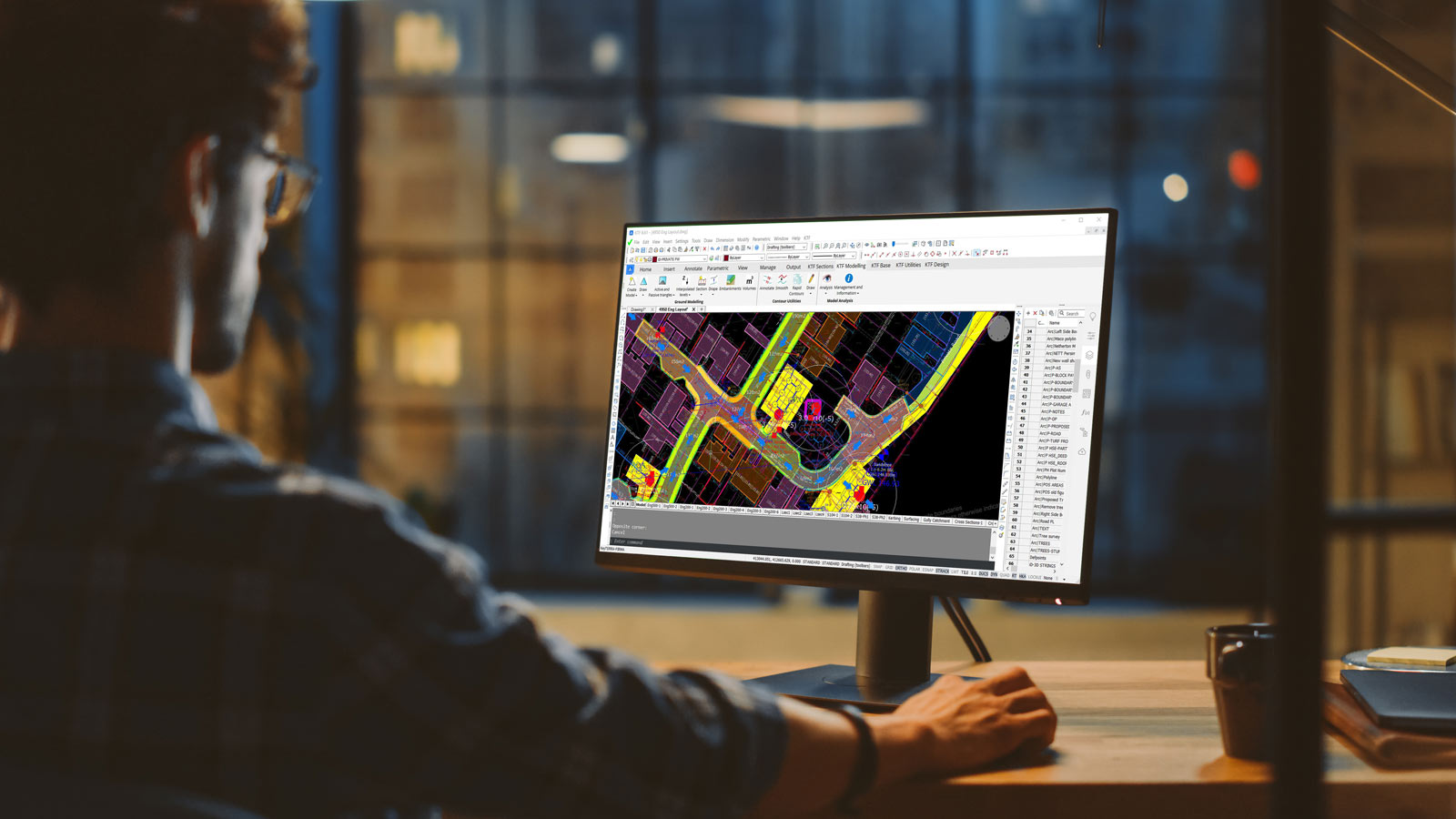
Runs inside BricsCAD® Pro and AutoCAD® with native DWG support—no external viewers or file conversions required.

Simplify complex design workflows, reduce risk, and deliver accurate engineering outputs with KeyTERRA-FIRMA Mainstream.
Build accurate terrain models from survey data. Visualise ground features and define site levels with full design control.
Visualize slope and volume data to guide site layout and drainage planning. Present results to stakeholders with clarity.
Get fast and clear insights into how much material to remove or import. Use multiple calculation methods for accuracy and compliance.
Create alignment-led designs and 3D site grading directly in CAD—saving time on redrafting and avoiding costly rework.
Automate chainage labelling and long section outputs. Ideal for roads, railways, or linear infrastructure design.
No exporting, no file format risks. All design data stays in DWG—ensuring compatibility with your CAD standards and team workflows.
Choose the licence that suits you – annual subscription or perpetual with optional maintenance.
Sed ut unde omnis iste natus sit volur tatem accus antium laudan tium totam aperiam veritatis vitae dicta sunt explicabo.
We’re here to help! Explore our FAQ or reach out to us for more information!
Key questions about KeyTERRA‑FIRMA Mainstream. If you need more info, just reach out. We'll be happy to answer any questions you might have.
Mainstream includes all Base features plus Ground Modeling and 3D Site & Road Design modules. You can model surfaces, analyse slopes, calculate cut and fill, and design road and site levels—all inside your DWG.
You can choose either an annual subscription or a perpetual license with optional maintenance. We offer flexible pricing to suit how you work and your budget.
Mainstream is ideal for infrastructure, highways, residential developments, sports facilities, and any site requiring detailed terrain modeling and level design. It’s used by surveyors, engineers, and contractors across the world.
Yes. If you start with KeyTERRA‑FIRMA Base, you can upgrade to Mainstream at any time. We’ll credit the difference, so you only pay for the additional functionality.