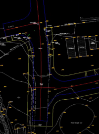
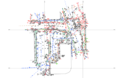
Process topographic survey data faster and with greater accuracy using KeyTERRA-FIRMA Base – the essential plug-in for land surveyors. Easily import data from total stations or GPS and convert it into precise CAD-ready drawings inside BricsCAD® or AutoCAD®


Built for Land Surveyors who demand fast, accurate and efficient workflows when creating topographic plans. KeyTERRA-FIRMA Base converts coordinate data from Total Stations, GPS or Dataloggers into precise survey outputs—directly within BricsCAD® or AutoCAD®. See how Amber Utilities uses KeyTERRA-FIRMA Base in this recent case study.
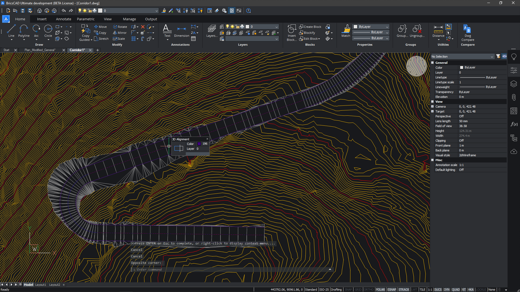
Import survey data and instantly build accurate 3D terrain models in BricsCAD®. Improve clarity, reduce manual errors, and deliver faster project outcomes.
Generate cross and long sections with precision for detailed terrain analysis. Improve design planning and decision-making with clear, CAD-integrated results.

Seamlessly build 3D surfaces and topographic plans within BricsCAD® Pro. KeyTERRA-FIRMA Base works directly in the DWG environment—no file conversions required.
Core survey tools for BricsCAD® and AutoCAD® – generate accurate results with minimal effort and full DWG compatibility.
Load survey data from GPS, Total Stations, or Dataloggers into CAD-ready formats.
Convert survey points into terrain models directly in BricsCAD®
Automatically label levels, codes, and chains to speed up workflows and reduce errors.
Create cross and long sections from survey data with a few clicks.
Native DWG compatibility for working across any CAD setup—no exports or conversions needed.
Output to BricsCAD’s built-in ground modeling/contouring tools with just one click.

Why land surveyors, civil engineers, and CAD professionals choose KeyTERRA-FIRMA Base: faster workflows, reliable results, and complete DWG support.
Import and convert Total Station or GPS data into CAD in minutes. Reduce time spent on manual steps.
Work directly inside BricsCAD® Pro or AutoCAD® with full support for layers, templates, and blocks.
Create cross and long sections from raw data for topographic analysis and layout decisions.
Generate clean DWG files ready for use in any CAD platform—no messy exports or file issues.
Built around the workflows of land survey professionals. Simplifies every step from field to finish.
Build terrain models, spot heights, slopes, and elevation bands with precise control inside BricsCAD®.
Flexible pricing to suit your needs – subscription or perpetual licenses available.
Sed ut unde omnis iste natus sit volur tatem accus antium laudan tium totam aperiam veritatis vitae dicta sunt explicabo.
We’re here to help! Explore our FAQ or reach out to us for more information!
Answers to common questions about KeyTERRA‑FIRMA Base, pricing, setup, and compatibility.
You get essential tools for processing survey data: import from total stations and GPS, section generation, and DWG-native outputs.
Yes. You can subscribe annually or purchase a perpetual license, either for single use or for use on a network. We’ll help you choose the best option for your workflow and budget.
Yes. All subscription and maintenance customers receive expert support through phone, email, TeamViewer sessions, and custom video walkthroughs as needed.
KeyTERRA‑FIRMA Base works inside BricsCAD® Pro and full versions of AutoCAD®. It installs as a plug-in and runs directly in the DWG environment.