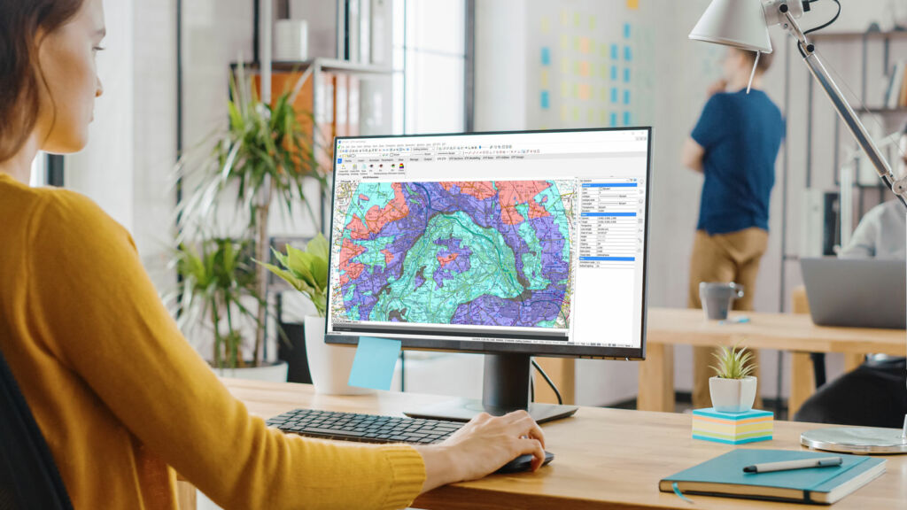
Streamline Landscape Visual Impact Assessments (LVIA) with KeyTERRA-FIRMA ZTV. Built for landscape architects, landcape planners and environmental consultants, ZTV (Zone of Theoretical Visibility) helps assess visual impacts of new developments, infrastructure, and land use changes—directly within BricsCAD® or AutoCAD®.


Designed for Landscape Architects, Environmental Consultants, and Planning Officers involved in Landscape and Visual Impact Assessments (LVIA).
If your work involves understanding how changes to a landscape will be seen from key viewpoints, ZTV is the specialist tool for visual impact modelling. Use it to calculate visibility, adjust viewing parameters, and create outputs that support planning applications and regulatory submissions.
Conduct accurate LVIA assessments to ensure your project blends with the natural surroundings and visual character of the site.
Use ZTV to analyse visibility zones and ensure proposals meet planning regulations and design expectations.
Support informed decisions by identifying how much of a development will be visible—and from where.
Advanced visual impact and ZTV analysis for BricsCAD® and AutoCAD® – fast, accurate, and built natively into the DWG environment.
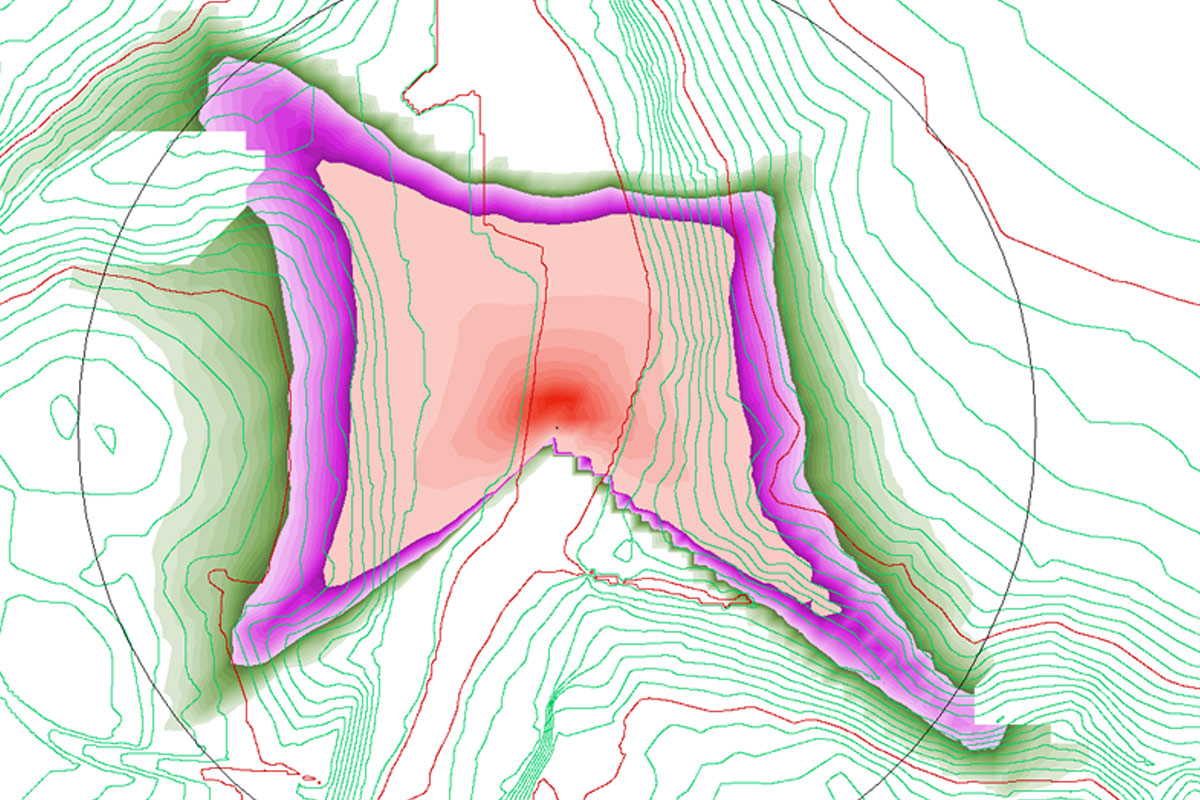
Calculate visibility from one or more viewpoints using real terrain data.
Set viewer height, target height, and visibility radius to reflect planning requirements.
Outputs include clear, graphical visibility zones ideal for reports and presentations.
Work with OS terrain models, imported TINs, or surfaces built from point data.
View results live in your DWG file—no need to export to external apps.
Run batch visibility from several locations simultaneously for efficiency.

Built for professional landscape and environmental planning. ZTV helps deliver better visibility studies, clearer assessments, and faster planning outcomes.
Use ZTV to assess where a development will be visible from, helping shape decisions early in the planning or design process.
No external software or conversions. Run visibility studies inside BricsCAD® or AutoCAD®—cutting hours from the process.
Generate visibility maps and outputs that integrate directly into your CAD layout—ideal for professional LVIA reporting.
Support visual impact reports for wind farms, solar farms, residential developments, and major infrastructure projects.
Define viewer height, study area extent, and analysis accuracy to match your assessment scope and local authority requirements.
ZTV is CAD-native and runs inside BricsCAD® or AutoCAD® with no proxy objects, no geometry loss, and no third-party workflows.
Simple pricing with flexible licensing – subscription or perpetual options available.
Sed ut unde omnis iste natus sit volur tatem accus antium laudan tium totam aperiam veritatis vitae dicta sunt explicabo.
We’re here to help! Explore our FAQ or reach out to us for more information!
Common questions answered about ZTV features, usage, and CAD compatibility.
ZTV is used to assess where a proposed development will be visible from. It’s ideal for Landscape and Visual Impact Assessments (LVIA), renewable energy projects, and any planning scenario where visibility matters.
Like all KeyTERRA-FIRMA Products, ZTV runs directly inside BricsCAD® Pro and full AutoCAD®. It outputs visibility zones directly in DWG with no external software required.
You can use terrain models built from surveyed points or import OS Terrain or general LIDAR DTM and DSM data. ZTV calculates visibility directly from your surface, regardless of the source.
Yes. The following Visual Barrier (VB) types can be specified: Automatic VBs from the optional DSM model; Areal VBs (vegetation, dense built-up areas); Linear VBs (hedges, walls); Wire Frame VBs (factory roofs, man-made structures, etc.).